
Know where you can drive, camp, hunt and fish.
Booner puts Forest Service roads, campsites, public land boundaries and hunting seasons on one map: for the trip you're planning and the road you're on.
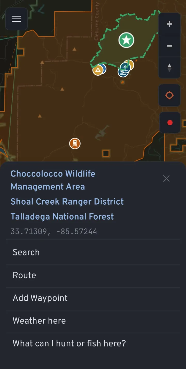
Tap anywhere on the map and Booner tells you whose land it is, which ranger district and wildlife area you're in, and what you can do there.
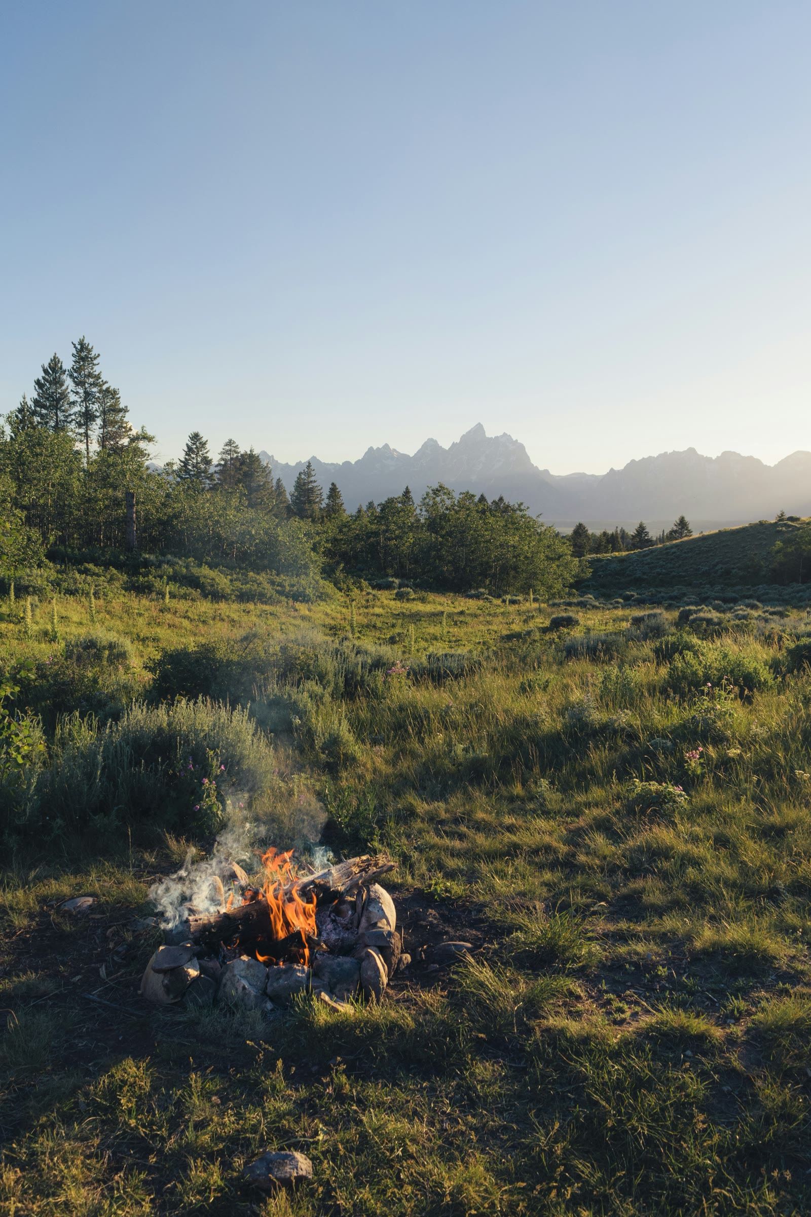
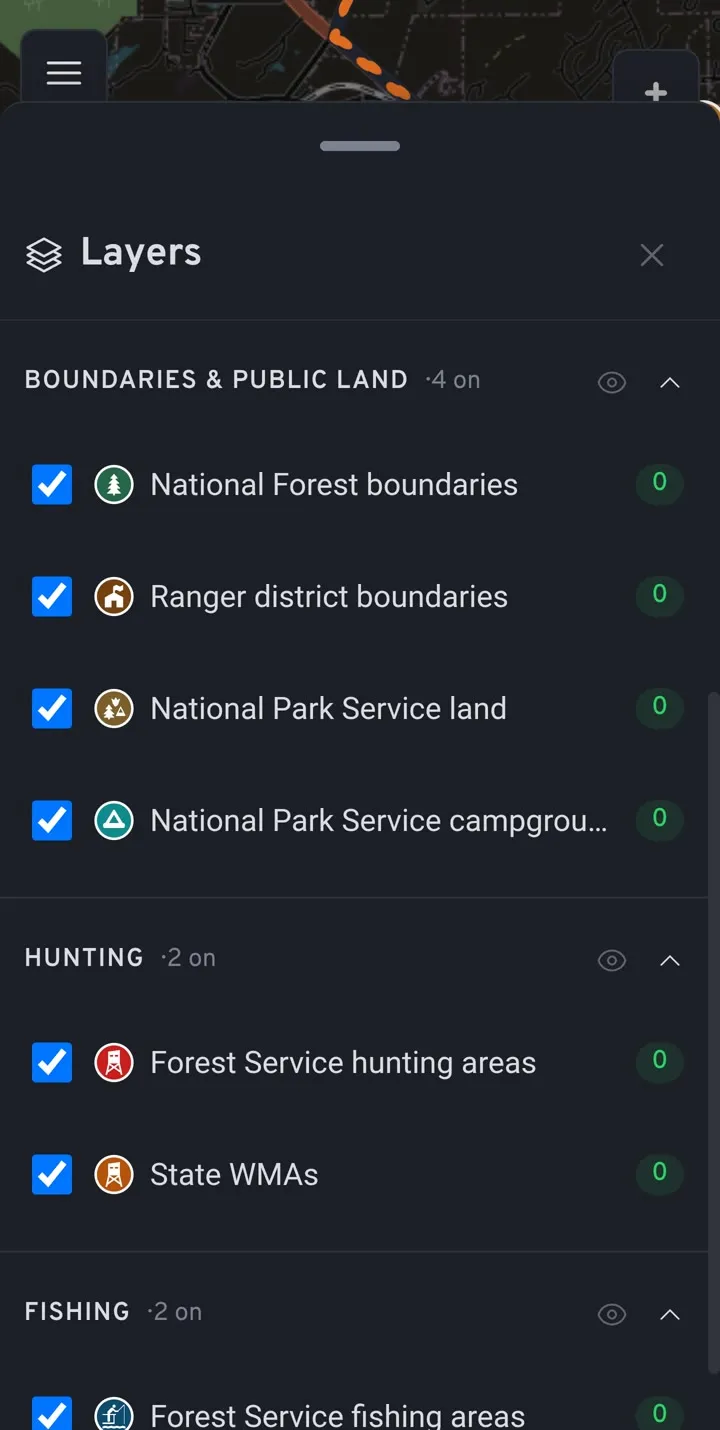
See whose land you're on
Public land isn't one thing. Booner draws the lines that decide what's allowed.
- National Forest and ranger district boundaries
- National Park Service land
- State wildlife management areas
- Forest Service roads and trails, coloured by which vehicles may use them
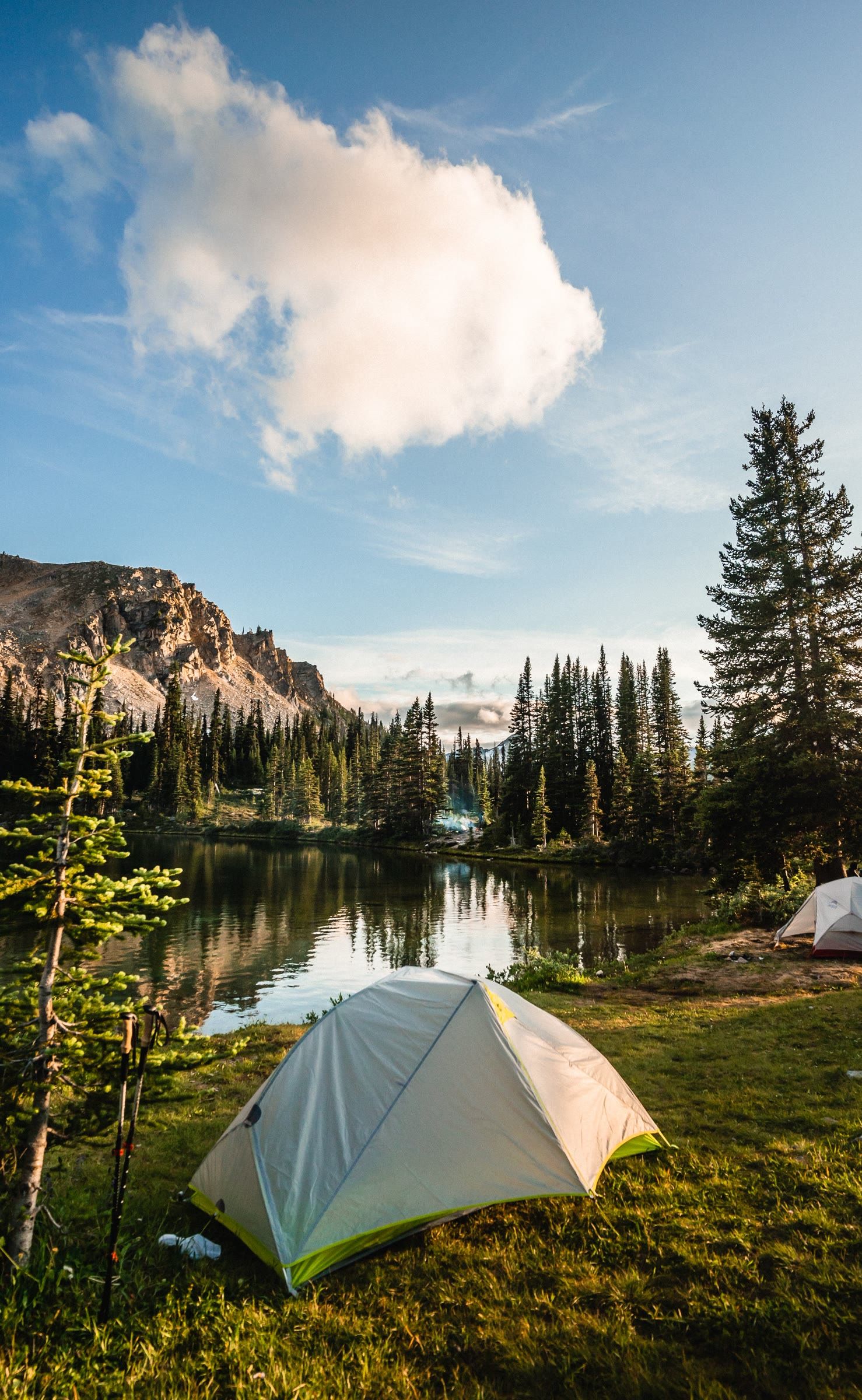
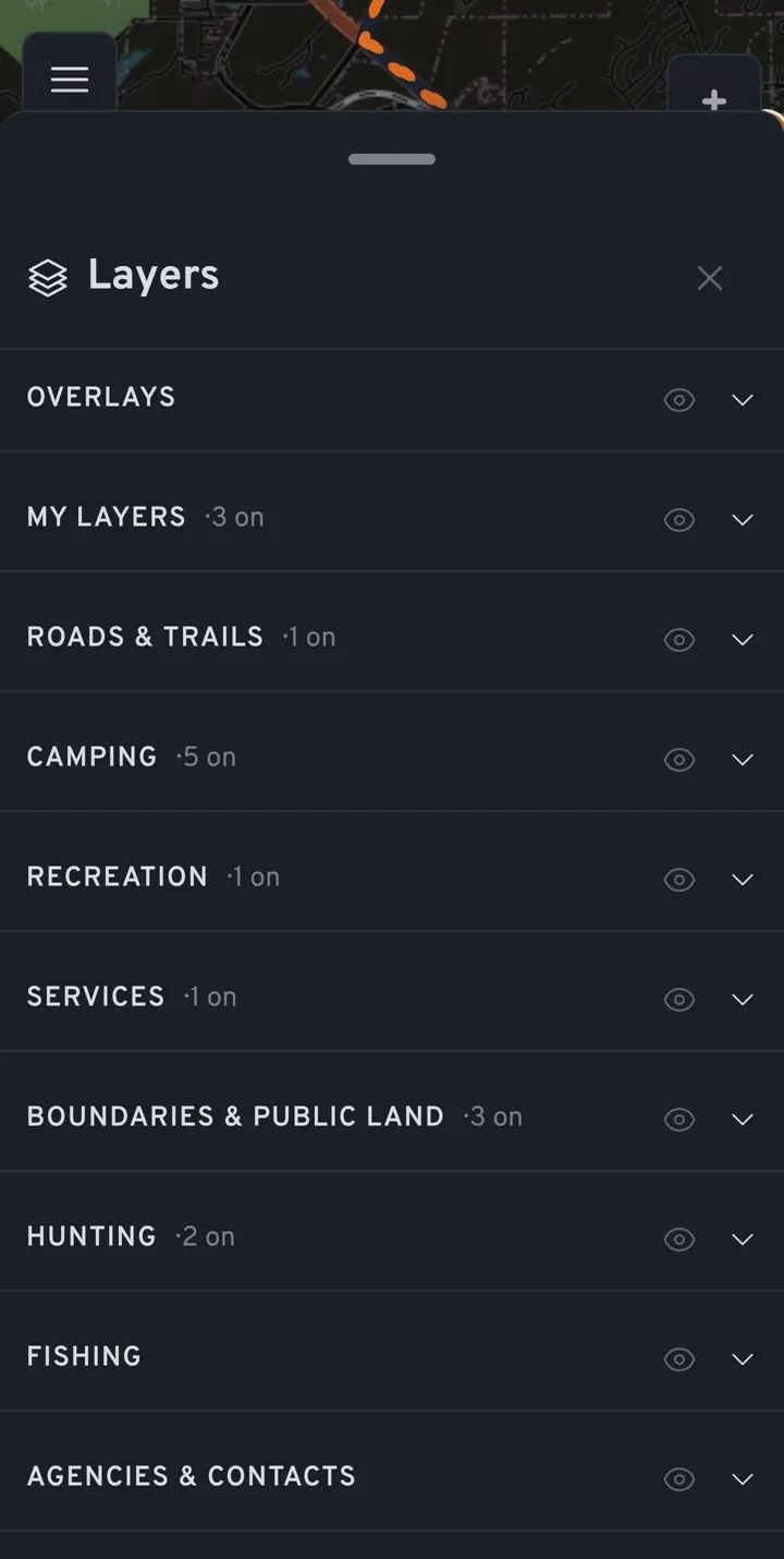
Find a place to camp tonight
Developed campgrounds, Recreation.gov sites and dispersed camping on one map, with the services you need on the way: fuel, propane, water, dump stations and showers.
Turn on what you need and leave the rest off.
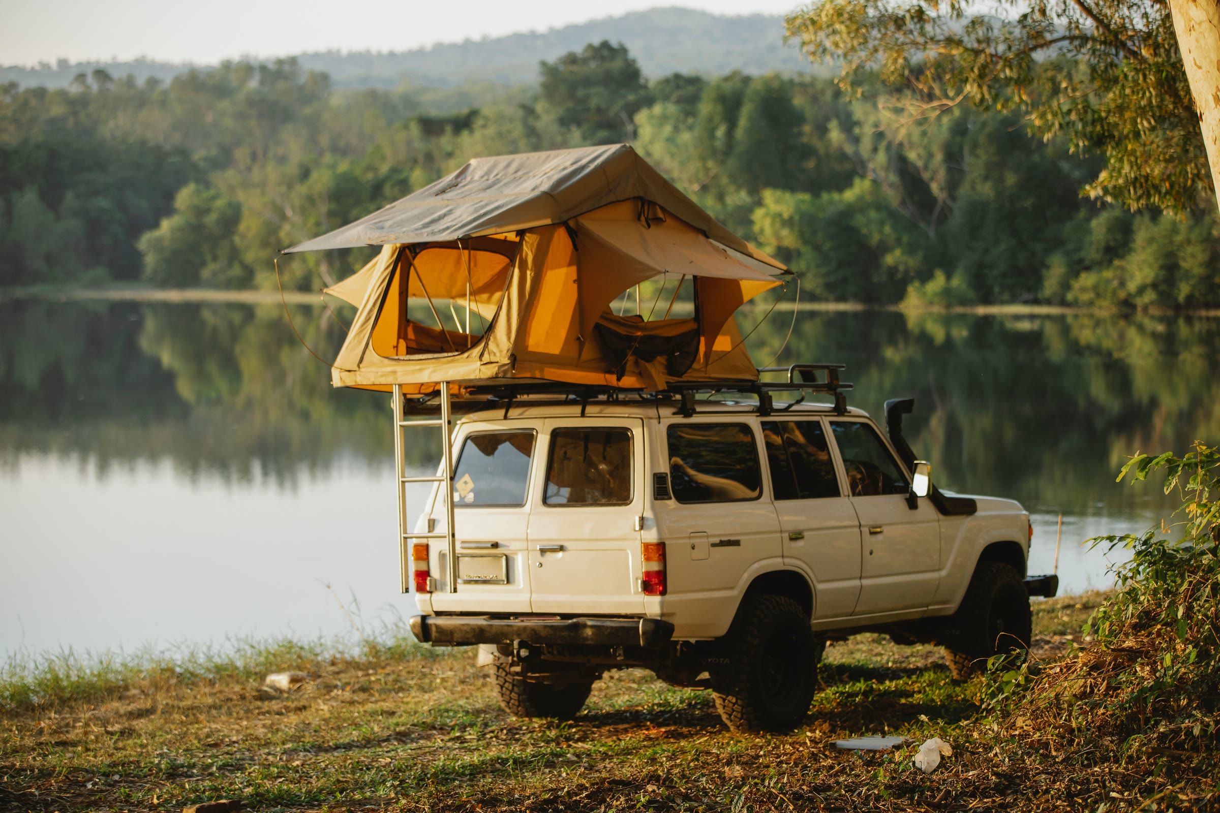
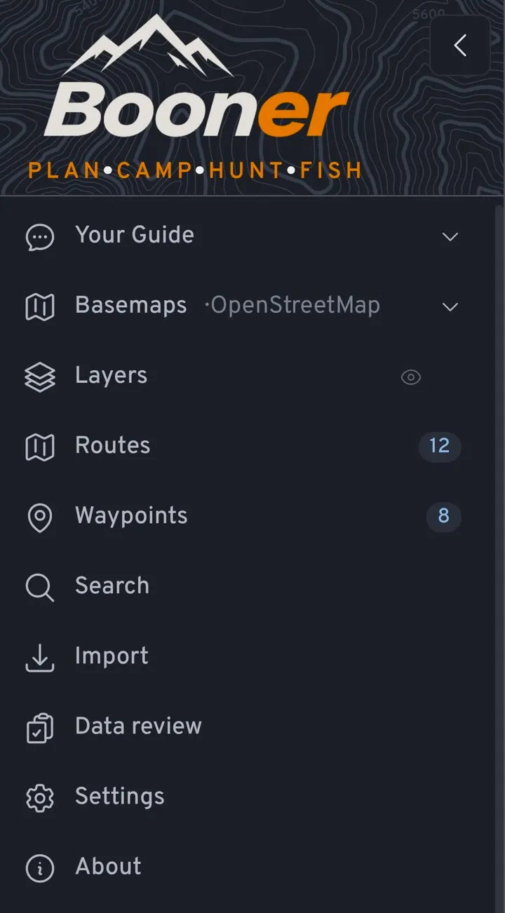
Plan the trip, then drive it
Build a route with as many stops as you like, then follow it with turn-by-turn voice directions, rerouting and the next fuel stop ahead.
- Save waypoints with your own icons, colours and notes
- Record your drive, hike or boat trip as a track
- Import GPX, KML, KMZ and GeoJSON, export GPX
- Everything syncs between your phone and computer
Hunt and fish with the seasons in hand
Forest Service hunting and fishing areas, state wildlife management areas, licence information and season dates, for the spot you're standing on.
Or just ask
The Booner assistant (an add-on) answers from the same map data, and turns its suggestions into waypoints and route stops with one tap.
- Is this road open to my truck in November?
- Where can I camp for free near here?
- Where's the last fuel before this route goes dirt?
- What can I hunt here, and when does the season open?
- Will it rain at camp on Saturday night?
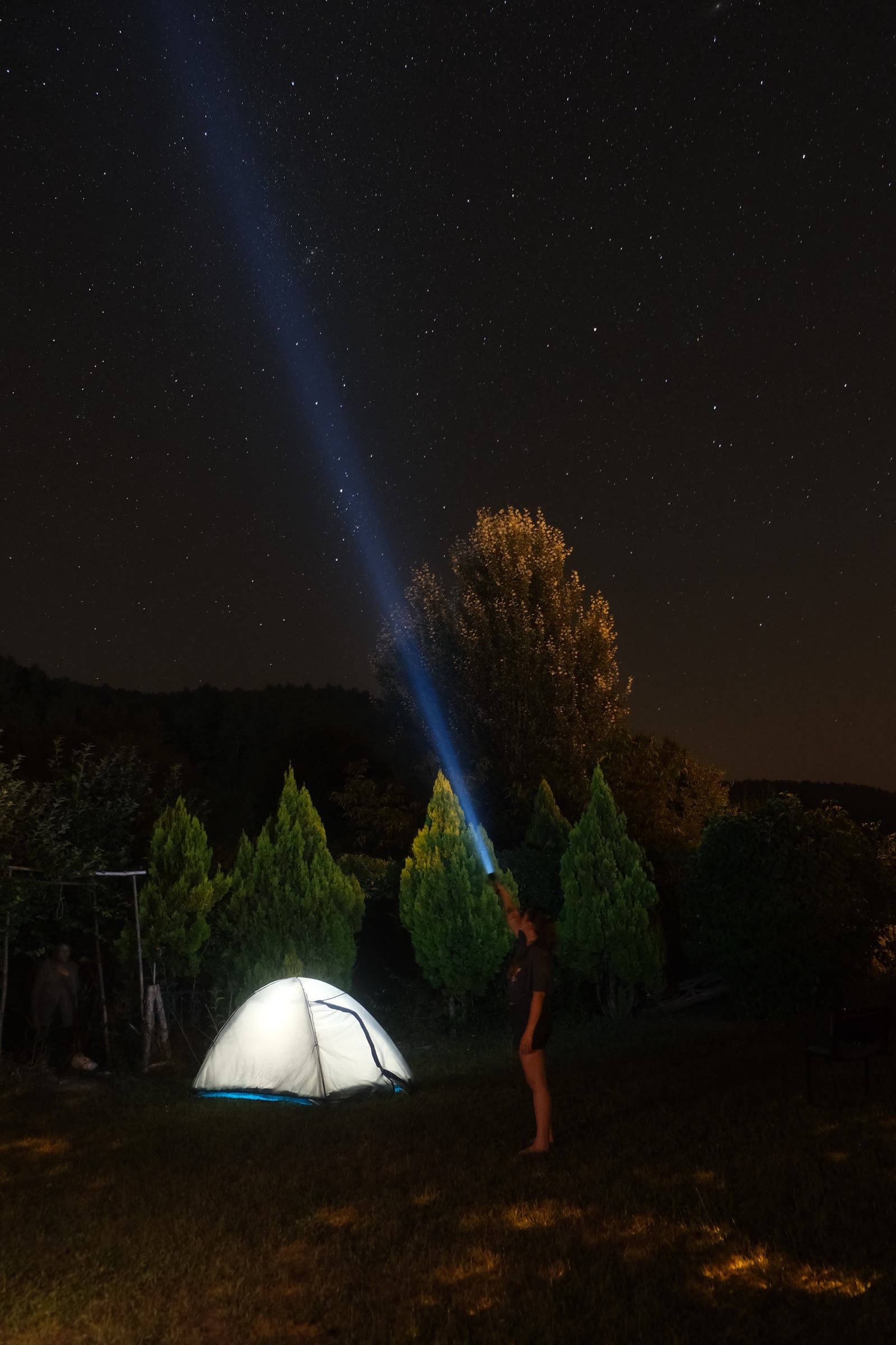
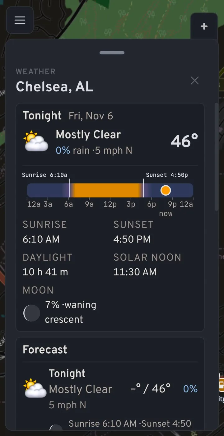
Know what the sky is doing
Forecasts for any point on the map or along your route, live radar, and sunrise, sunset and moon phase, so you know how much light you have left to find camp.
Built on public data
Booner's map comes from the agencies that manage the land and the people who map it: the US Forest Service, the National Park Service, Recreation.gov, state wildlife agencies, the National Weather Service, USGS and OpenStreetMap.
Data can still be wrong or out of date. Signs on the ground and the local office have the final word. See every source.
Questions
What does it cost?
Booner is free for 14 days, with no card needed. The AI assistant and Google basemaps are paid add-ons. Plans and pricing come after the beta.
Does it work on iPhone?
Booner runs in any modern browser, including Safari on iPhone. There's an Android app in beta. An iPhone app isn't built yet.
Does the map work without a signal?
Your waypoints, routes and imported layers are kept on your phone and sync when you're back in signal. Downloading map areas for offline use is on the way, so for now load the area before you lose coverage.
Where does the map data come from?
Public sources: the US Forest Service (including Motor Vehicle Use Maps), the National Park Service, Recreation.gov, state wildlife agencies, the National Weather Service, USGS and OpenStreetMap. See the full list on the credits page.
Can I bring in my own maps?
Yes. Import GPX, KML, KMZ or GeoJSON files, for example from onX, and they show as your own layers alongside Booner's.
Which states does it cover?
Forest Service, National Park and routing data cover the whole US. Hunting and fishing seasons depend on each state's published data and are being added state by state; where we don't have a season yet, Booner says so.
Your next camp is out there.
Open Booner in your browser and start planning. No card needed.